Toggle navigation
Pässe
Pässe
Lebensziele
neu
Passjagd
Touren
Tourenplaner
Rennradreisen
Shop
Forum
Login
VERY important message
Suche
Jetzt im quäldich-Shop anschauen
Die quäldich-Alpenpässekarte ist da!
Alle Pässe!
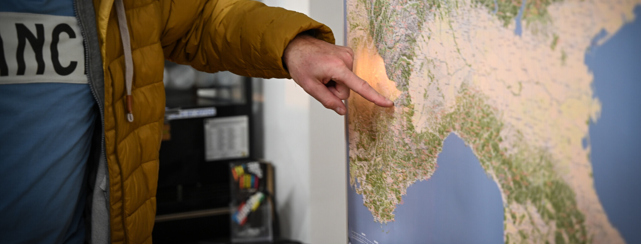
Deine Alpenreise beginnt im Wohnzimmer!
Für alle, die die Alpen verstehen wollen!
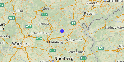
Oberdornlacher Berg (499 m)
Geißhügel
Obermainisches Hügelland
,
Bayern
Übersicht
Karte
Bilder
Rennradklima
Kommentare
Einloggen, um einen Kommentar zu verfassen
Map data ©
OpenStreetMap
contributors,
CC-BY-SA
GPS:
50.1507000,11.3911000
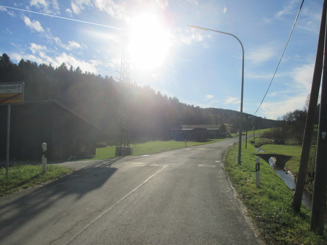
Von
Velocipedicus
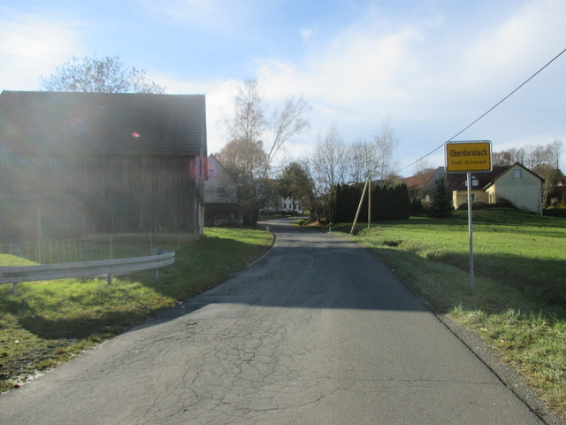
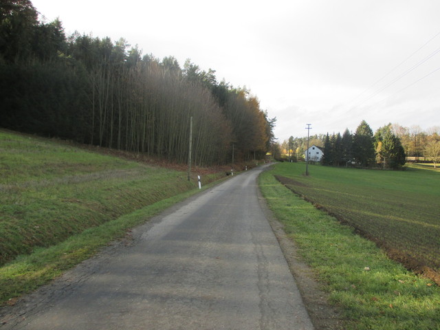
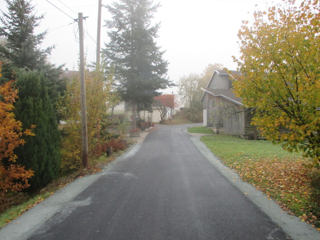
– Start in Unterdornlach
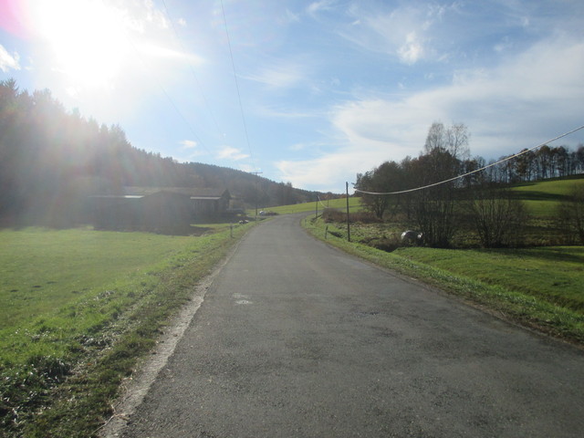
Von
Velocipedicus
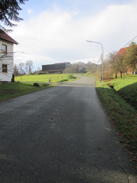
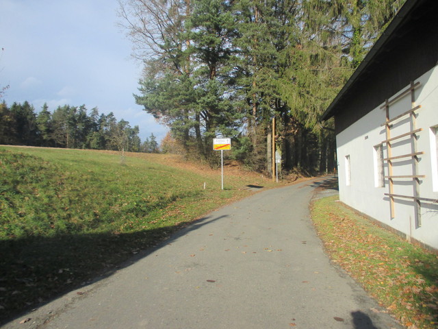
– aus Unterdornlach
Von
Velocipedicus
– .
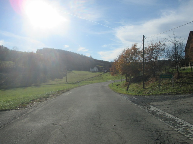
Von
Velocipedicus
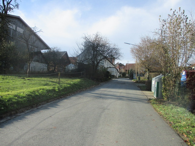
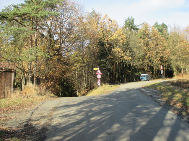
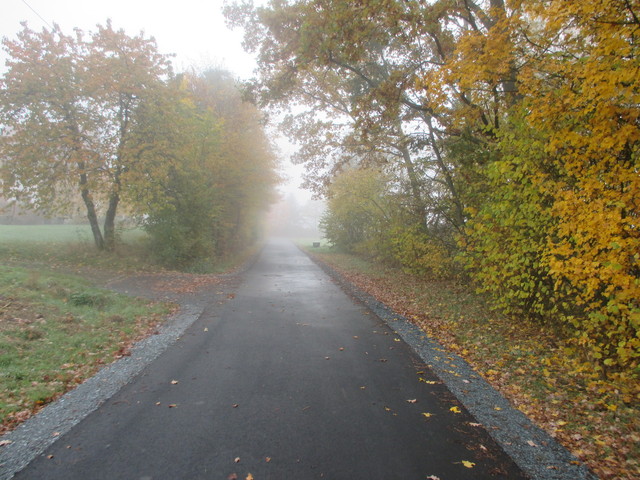
– Aufstieg nach Oberdornlach
Von
Velocipedicus
– .
Von
Velocipedicus
– .
Von
Velocipedicus
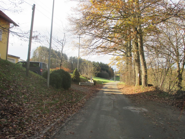
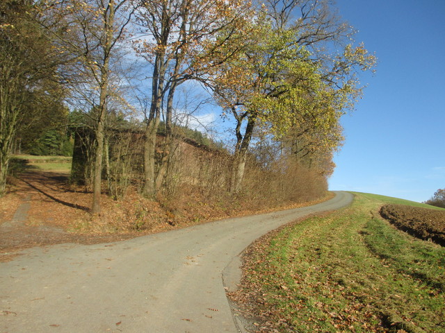
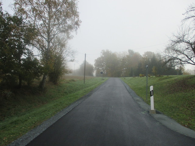
– aus Oberdornlach heraus
Von
Velocipedicus
– .
Von
Velocipedicus
– .
Von
Velocipedicus
– hier nach rechts, von links kommt die Auffahrt von Danndorf herauf
Von
Velocipedicus
– Schlusssteige
Von
Velocipedicus
– in Danndorf
Von
Velocipedicus
– .
Von
Velocipedicus
– .

 Oberdornlacher Berg (499 m) Geißhügel