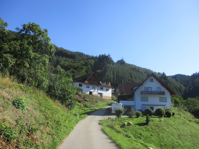
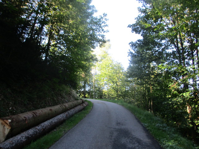
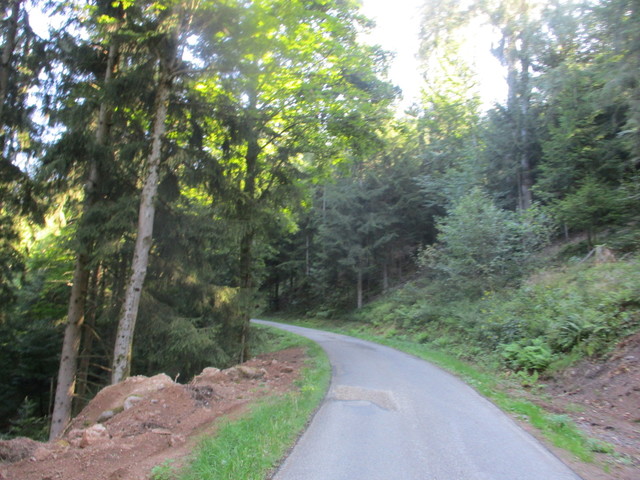
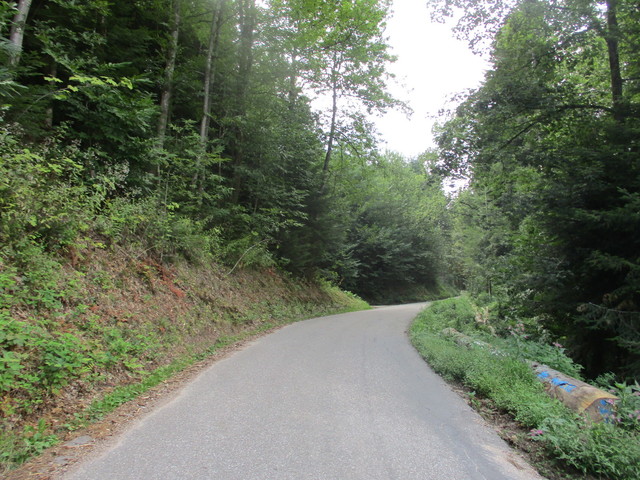
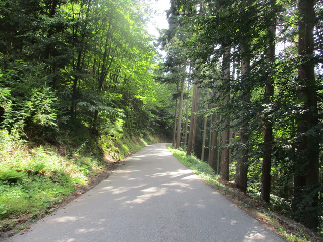
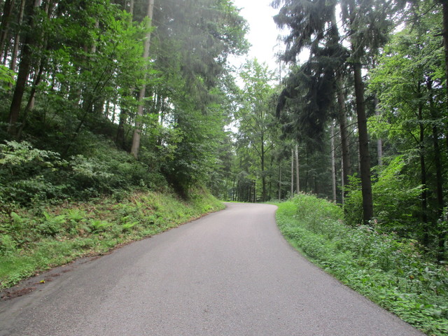
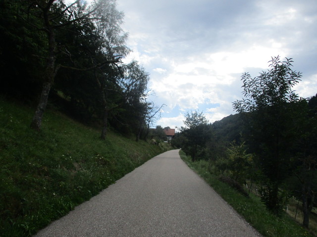
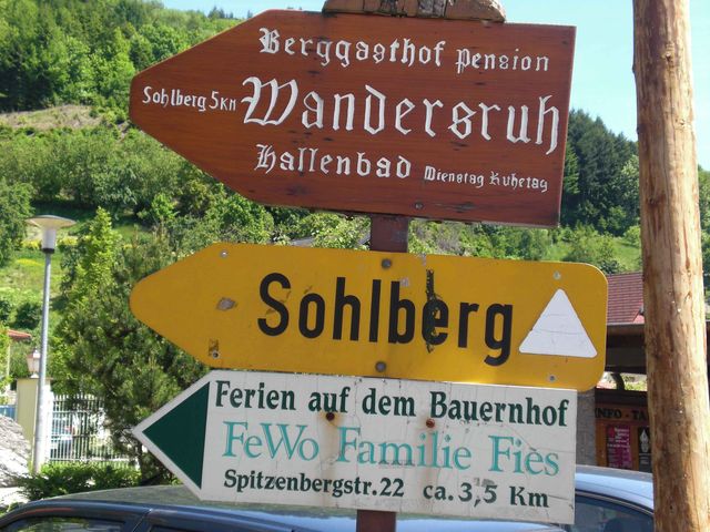
 Sohlberg (673 m)
Von Velocipedicus – .
Von Velocipedicus – .
Von Velocipedicus – .
Von Velocipedicus – .
Von Velocipedicus – .
Von Velocipedicus – .
Von Velocipedicus – .
Von Velocipedicus – .
Von Velocipedicus – .
Von Velocipedicus – .
Von Velocipedicus – .
Von Velocipedicus – .
Von Velocipedicus – .
Von Velocipedicus – .

Von Velocipedicus – .
Von Velocipedicus – .

Von Velocipedicus – .

Von Velocipedicus – .

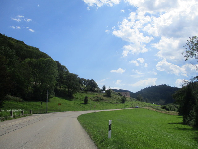
Von Velocipedicus – Blick in die Rheinebene

Von Velocipedicus – .

Von Velocipedicus – gleich ist es/man geschafft

Von Velocipedicus – Am Kulminationspunkt
Von Velocipedicus – .

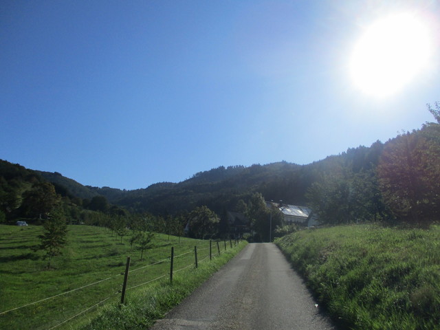
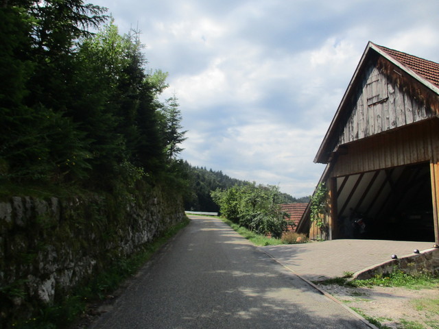
Von Velocipedicus – Nordauffahrt von Ottenhöfen

Von Velocipedicus – .

Von Velocipedicus – Es klappert die Mühle am rauschenden Bach, klipp-klapp, klipp-klapp, klipp-klapp.
Von Velocipedicus – nach dem Abbiegen geht es steiler voran

Von Velocipedicus – .
Von Velocipedicus – .

Von Velocipedicus – .
Von Velocipedicus – .

Von Velocipedicus – .

Von Velocipedicus – .
Von Velocipedicus – .
Von Velocipedicus – .
Von fraemling – Einstieg am Abzweig in Lautenbach

Von fraemling – Blick ins Renchtal

Von fraemling – Brunnen bei Km 2

Von fraemling – Sohlbergstrasse

Von fraemling – Passhöhe