Toggle navigation
Pässe
Pässe
Lebensziele
neu
Passjagd
Touren
Tourenplaner
Rennradreisen
Shop
Forum
Login
VERY important message
Suche
×
Bild 8 / 17
Kembacher Höhe
Von
Velocipedicus
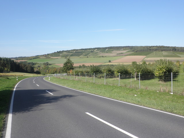
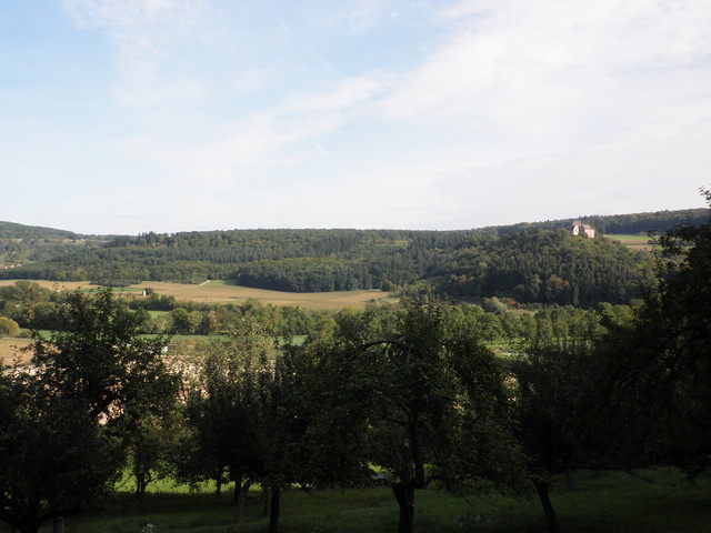
– Urphar III, Obstplantagen vorbei
Previous
Next
Jetzt im quäldich-Shop anschauen
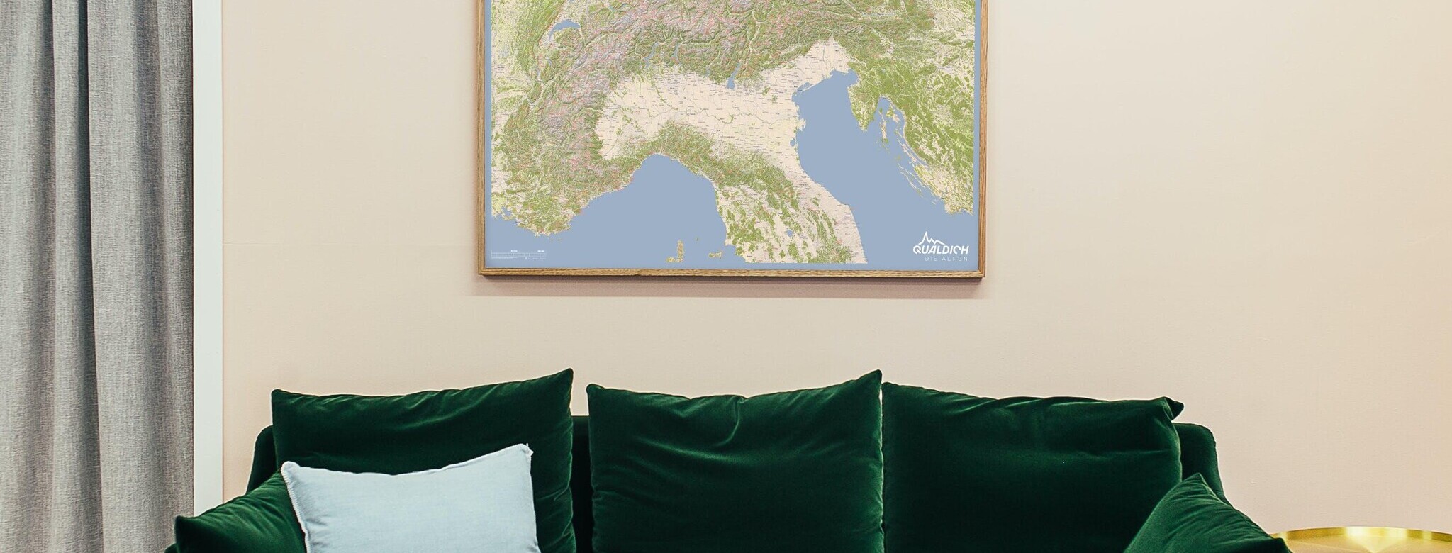
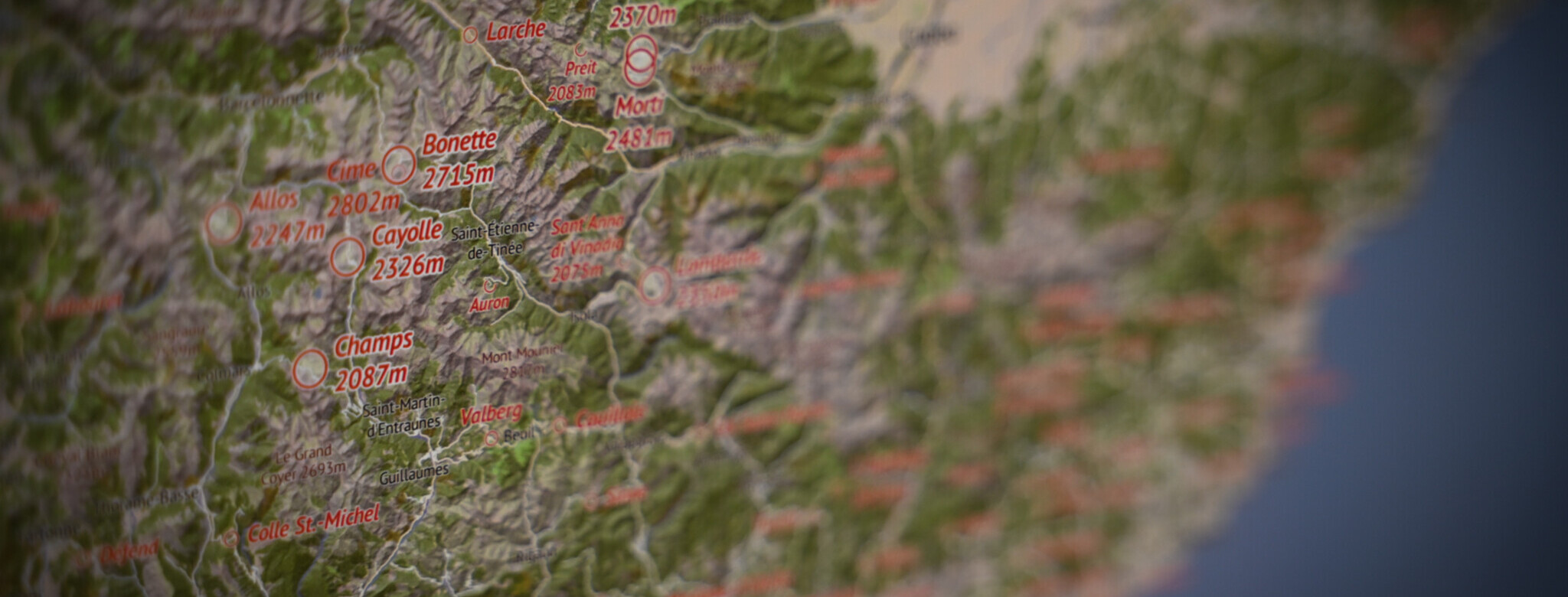
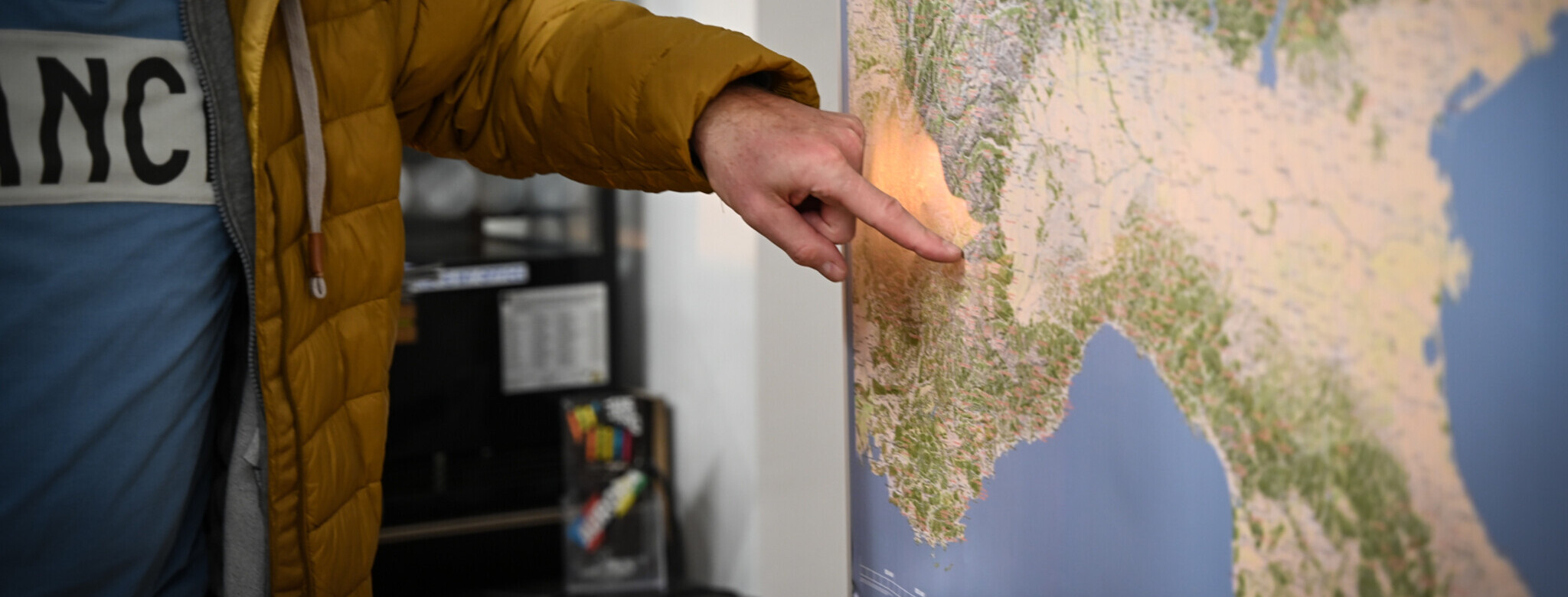
Die quäldich-Alpenpässekarte ist da!
Alle Pässe!
Deine Alpenreise beginnt im Wohnzimmer!
Für alle, die die Alpen verstehen wollen!
Kembacher Höhe (349 m)
Mainfranken
,
Taubertal
,
Marktheidenfelder Platte
,
Baden-Württemberg
Übersicht
Karte
Bilder
Rennradklima
Kommentare
Einloggen, um einen Kommentar zu verfassen
Map data ©
OpenStreetMap
contributors,
CC-BY-SA
GPS:
49.7327000,9.6204300
Von
Velocipedicus
– herrliche Blicke in die Umgebung, vor uns die Auffahrt vom Kembch
Von
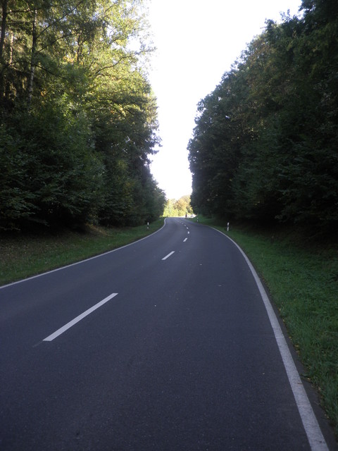
Velocipedicus
– aus Kembach heraus, gleich sehr steil
Von
Velocipedicus
– Auffahrt von Kembach, im weiteren Verlauf
Von
Velocipedicus
– bis zur Anhöhe ist es nicht mehr weit
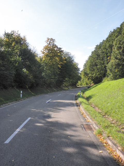
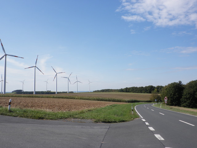
Von
Velocipedicus
– Kembacher Höhe, mit 11 Windrädern (Stand Sep.'13) links die Auffahrt von Gamburg (wunderschön), geradeaus die von Urphar
Von
Velocipedicus
– von Urphar I
Von
Velocipedicus
– von Urphar II
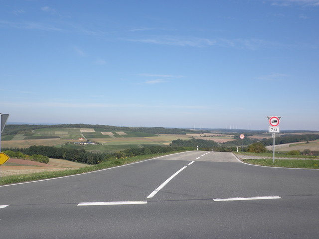
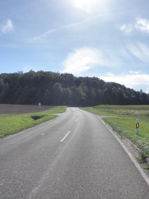
Von
Velocipedicus
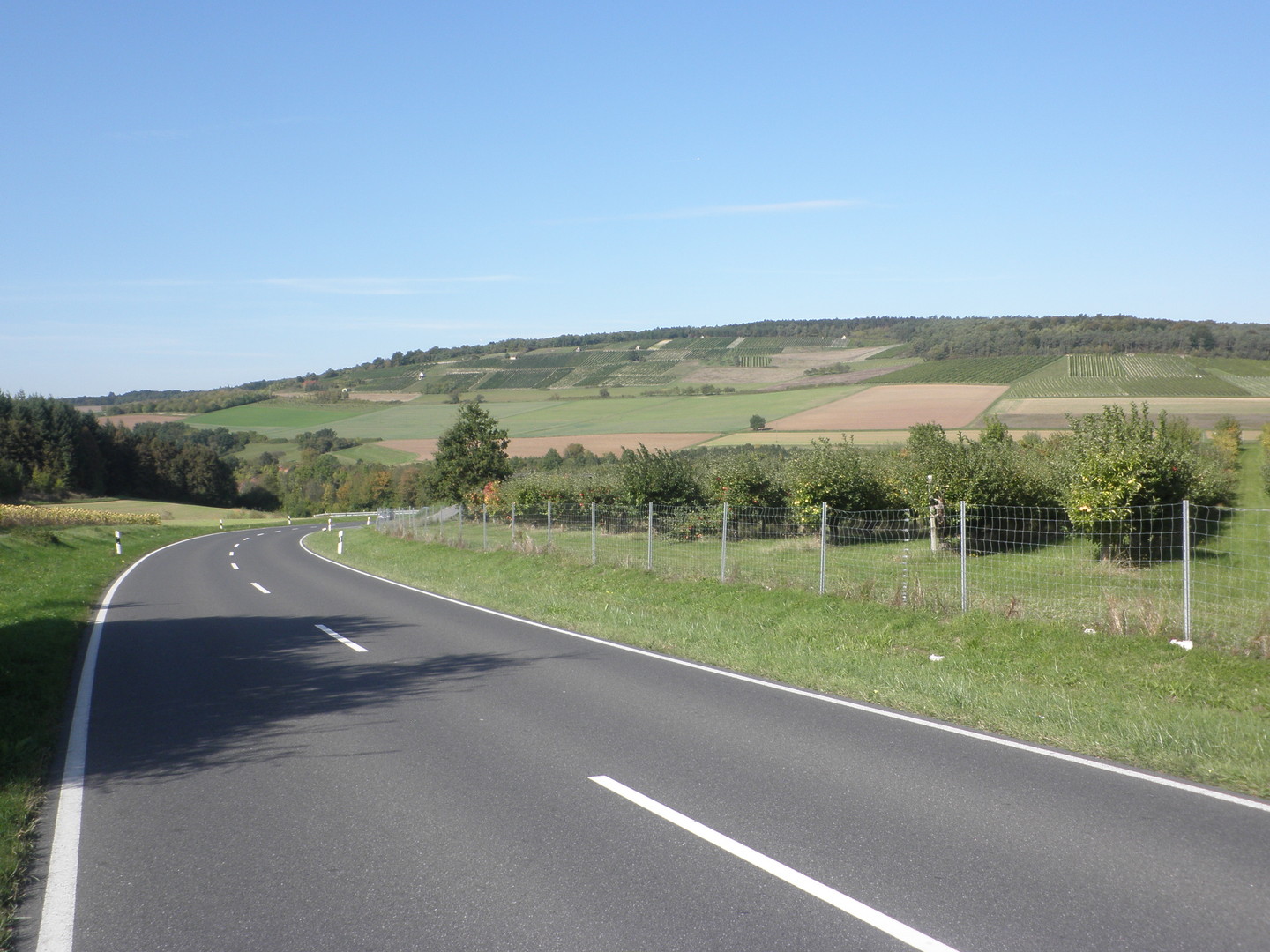
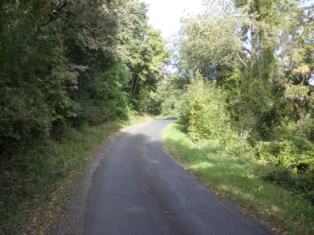
– Urphar III, Obstplantagen vorbei
Von
Velocipedicus
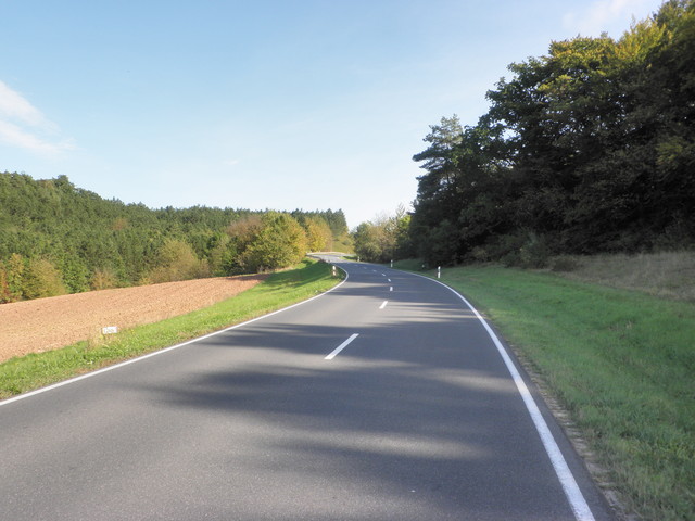
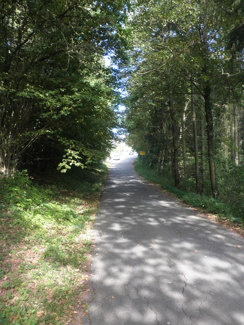
– Urphar IV
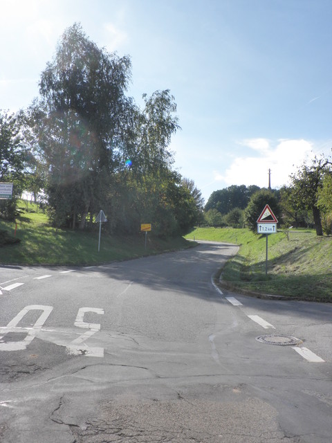
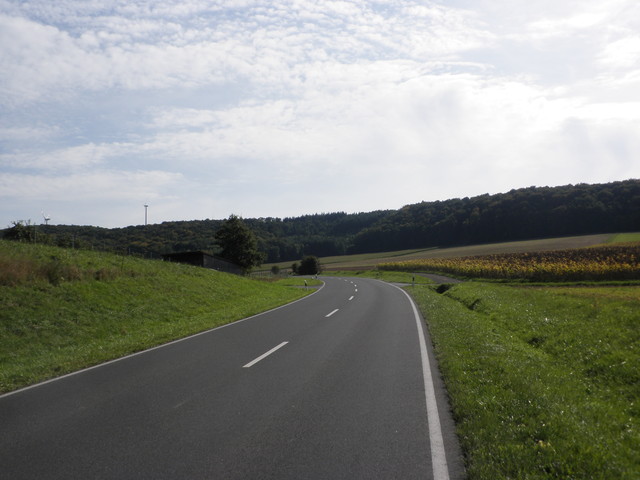
Von
Velocipedicus
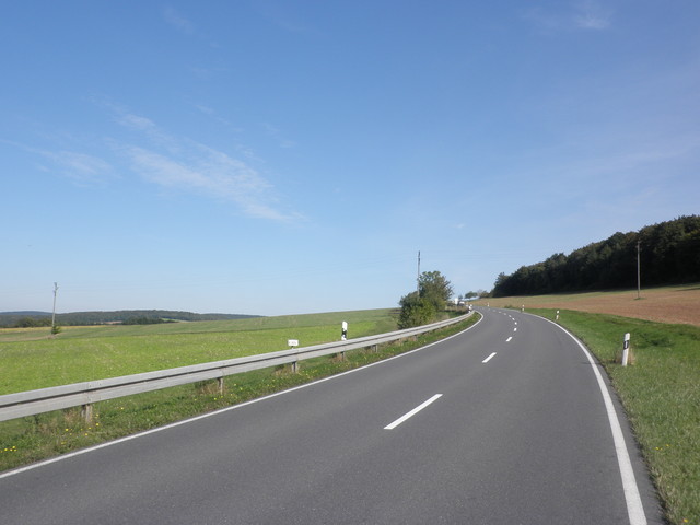
– Urphar V, fast oben
Von
Velocipedicus
– von Gamburg, einsames Sträßchen, < Verkehr
Von
Velocipedicus
– Blick zur/nach Gamburg
Von
Velocipedicus
– von Gamburg, ach ist das schön
Von
Velocipedicus
– Auffahrt Gamburg; kurz vor Höhefeld
