Toggle navigation
Pässe
Pässe
Lebensziele
neu
Passjagd
Touren
Tourenplaner
Rennradreisen
Shop
Forum
Login
VERY important message
Suche
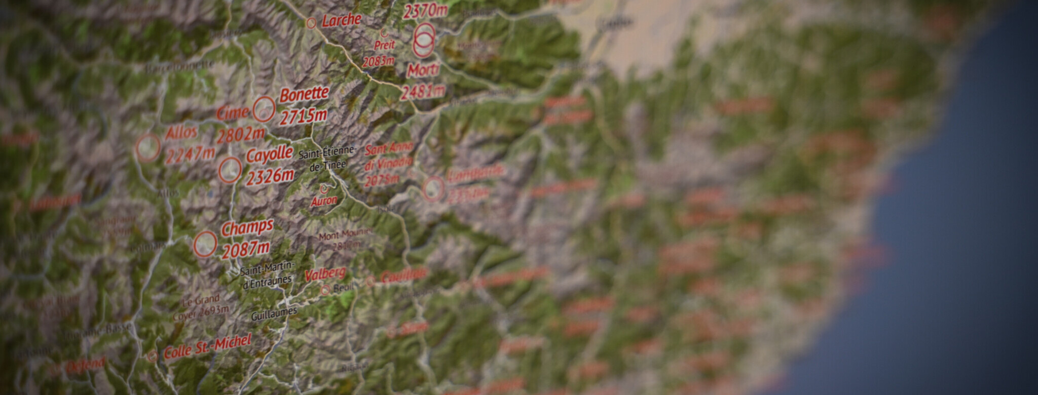
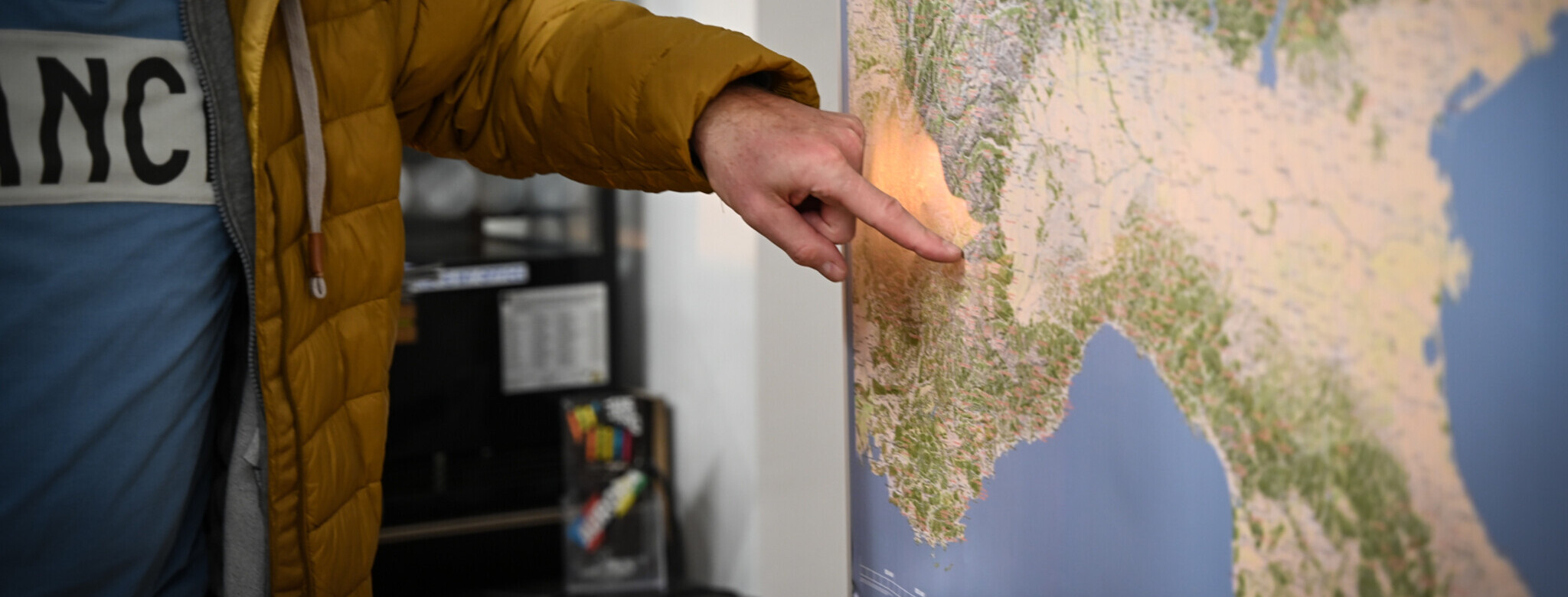
Jetzt im quäldich-Shop anschauen
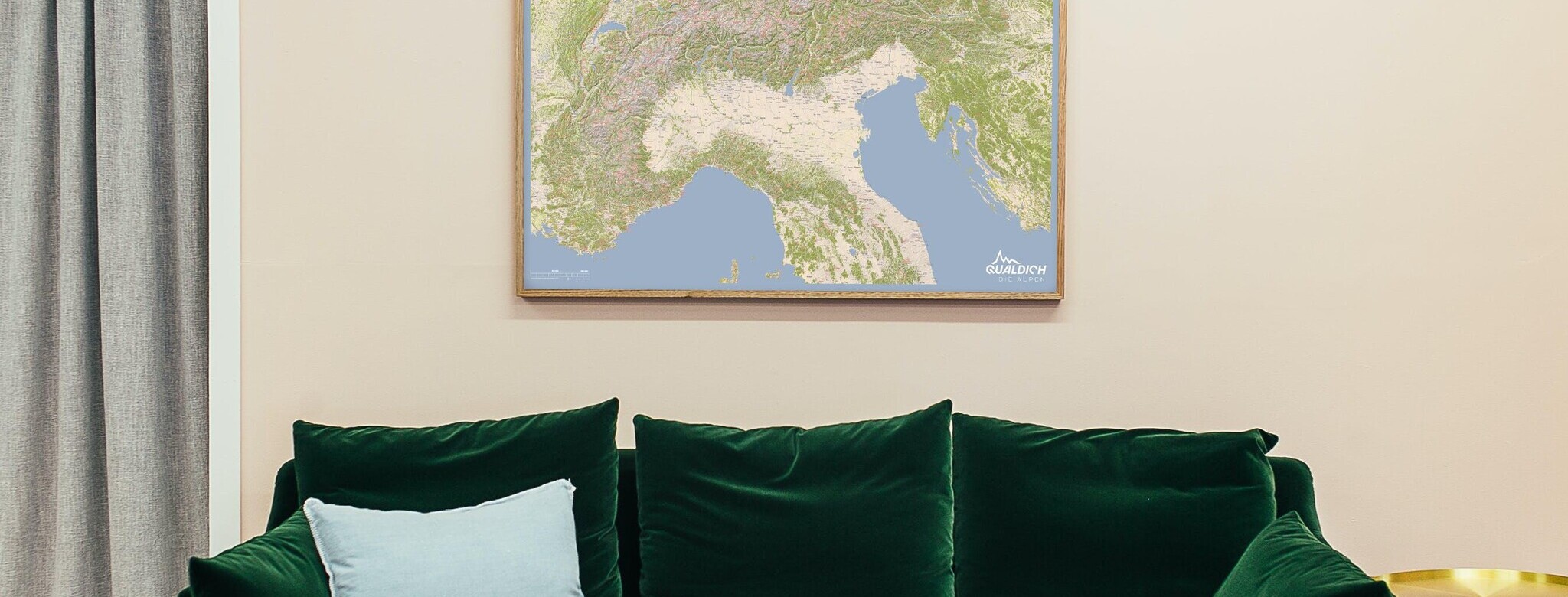
Die quäldich-Alpenpässekarte ist da!
Alle Pässe!
Deine Alpenreise beginnt im Wohnzimmer!
Für alle, die die Alpen verstehen wollen!
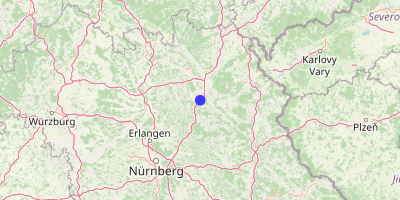
Sophienberg (567 m)
Culmberg, Culm, Culmberger Bergstubn
Obermainisches Hügelland
,
Bayern
Übersicht
Karte
Bilder
Rennradklima
Kommentare
Einloggen, um einen Kommentar zu verfassen
Map data ©
OpenStreetMap
contributors,
CC-BY-SA
GPS:
49.8866000,11.5559000
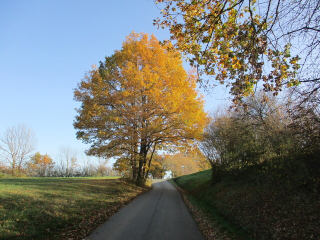
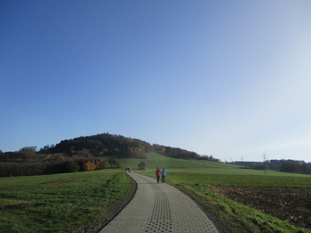
Von
Velocipedicus
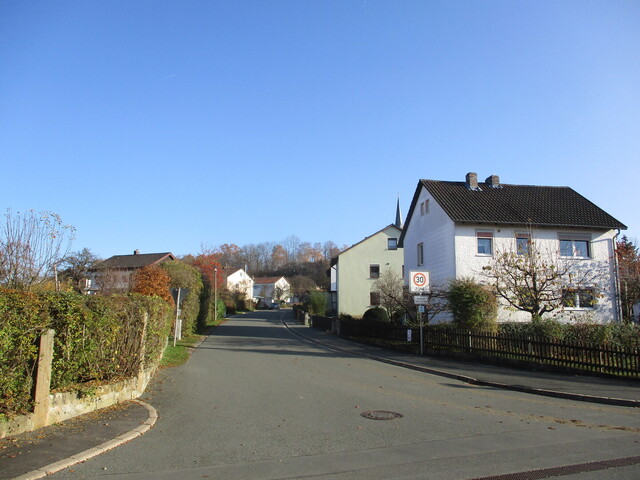
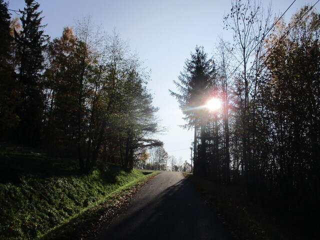
– Gesees, Start im Kirchweg
Von
Velocipedicus
– .
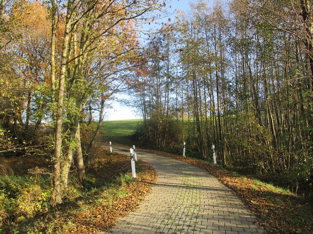
Von
Velocipedicus
– .
Von
Velocipedicus
– .
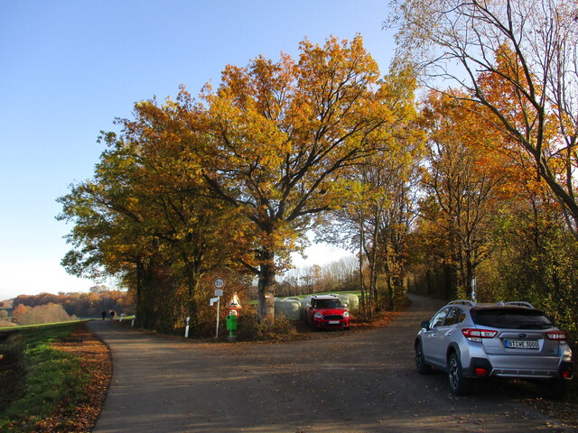
Von
Velocipedicus
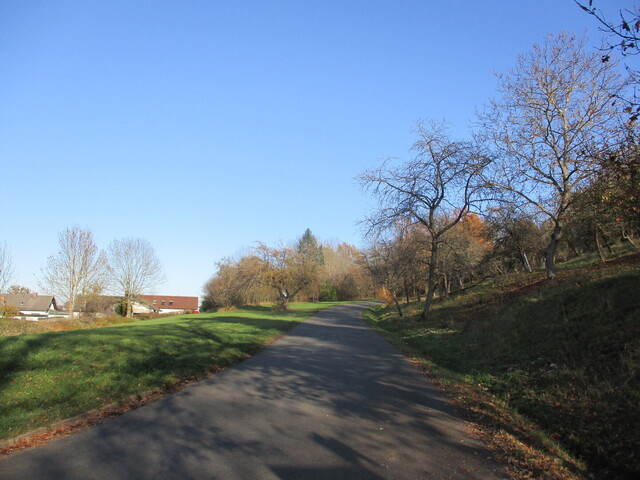
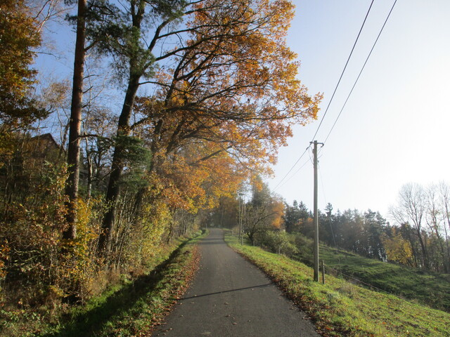
– nach rechts
Von
Velocipedicus
– .
Von
Velocipedicus
– .
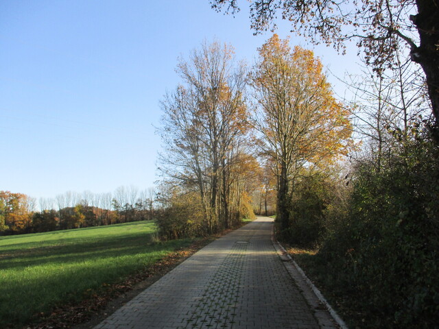
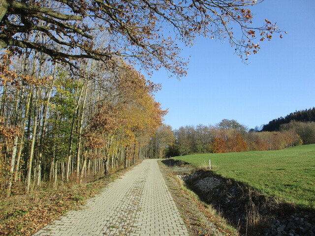
Von
Velocipedicus
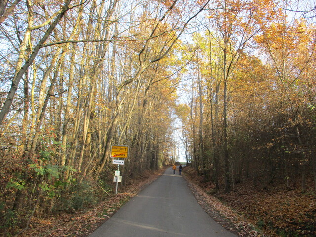
– Betonpflasterweg = Gassi- und Spazierweg
Von
Velocipedicus
– .
Von
Velocipedicus
– .
Von
Velocipedicus
– .
Von
Velocipedicus
– .
Von
Velocipedicus
– .
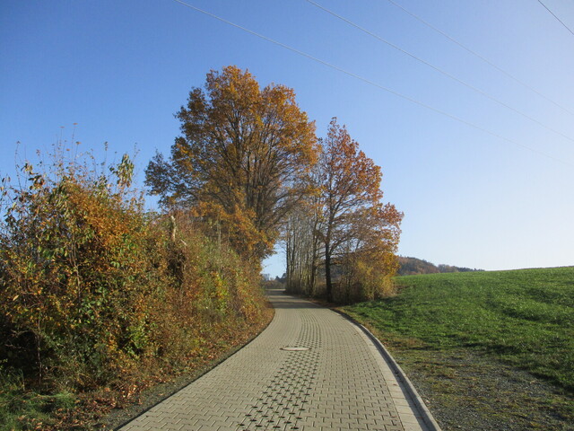
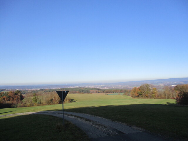
Von
Velocipedicus
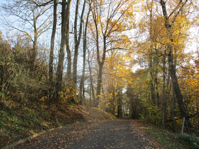
– kurz vor dem Hochpunkt
 Sophienberg (567 m) Culmberg, Culm, Culmberger Bergstubn