Toggle navigation
Pässe
Pässe
Lebensziele
neu
Passjagd
Touren
Tourenplaner
Rennradreisen
Shop
Forum
Login
VERY important message
Suche
Sichere dir dein Jahreshighlight!
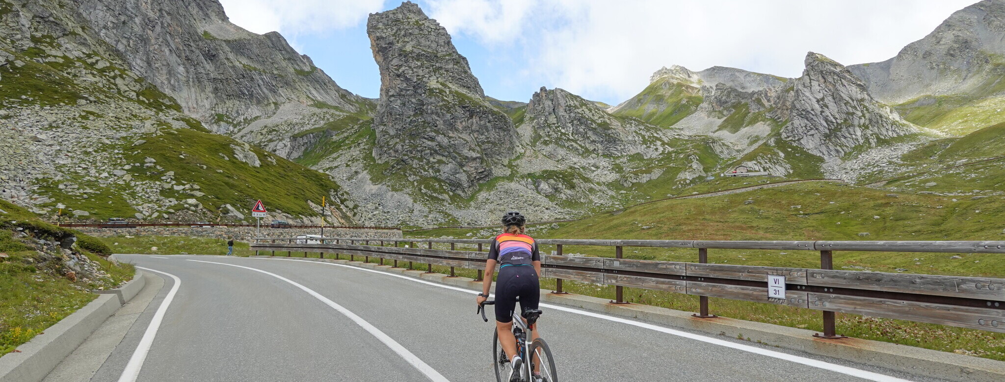
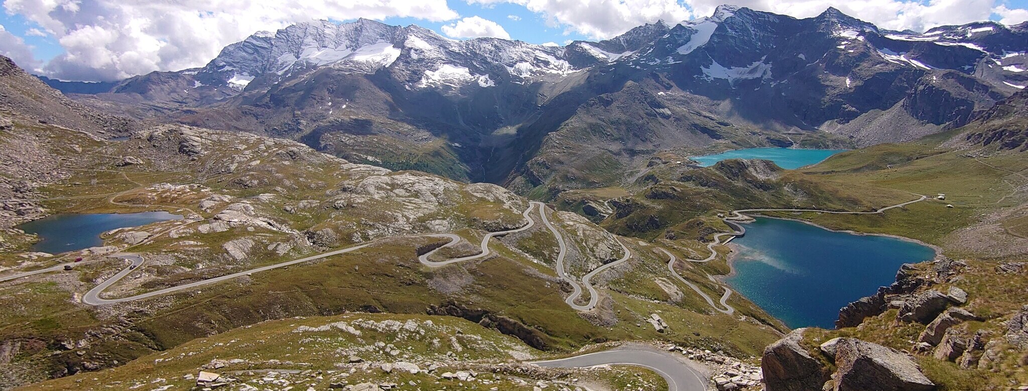
Rund um die Walliser Alpen...
... bis zum fantastischen Nivolet!
Alpen neu entdecken!
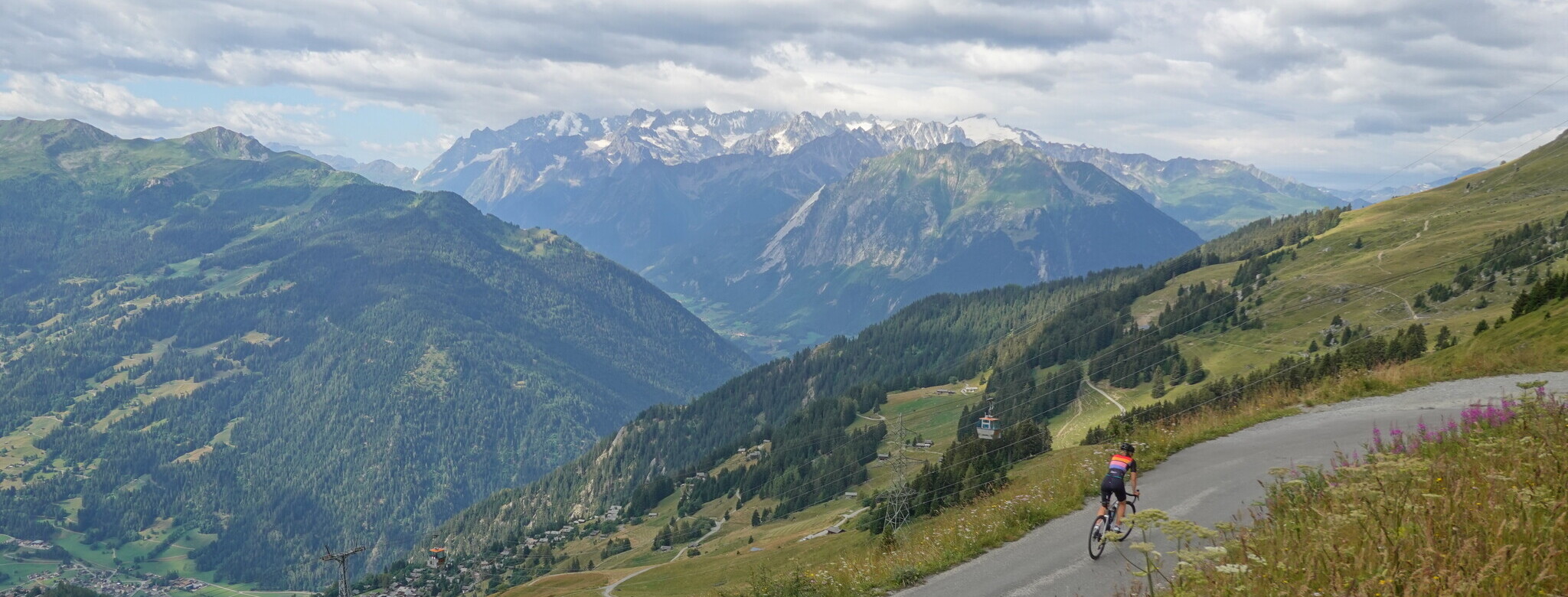
Matterhorn-Umrundung 20.-27.07.2024
Hubertushöhe (653 m)
Nurner Berg
Frankenwald
,
Bayern
Übersicht
Karte
Bilder
Rennradklima
Kommentare
Einloggen, um einen Kommentar zu verfassen
Map data ©
OpenStreetMap
contributors,
ODbL
GPS:
50.3602,11.4669
Von
Velocipedicus
– das Gasthaus Hubertushöhe in Blickrichtung nach Birnbaum
Von
Velocipedicus
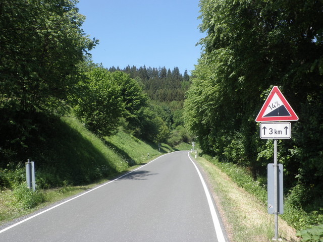
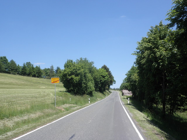
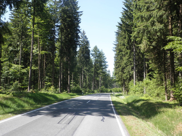
– aus dem Rodachtal heraus
Von
Velocipedicus
– .
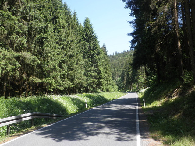
Von
Velocipedicus
– .
Von
Velocipedicus
– .
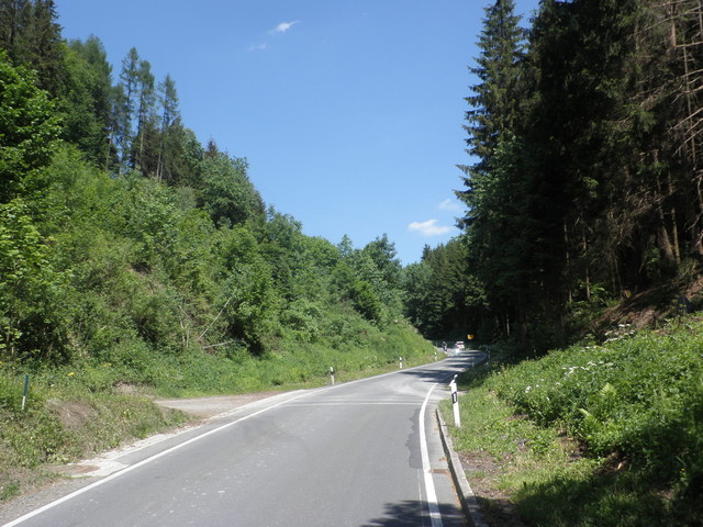
Von
Velocipedicus
– .
Von
Velocipedicus
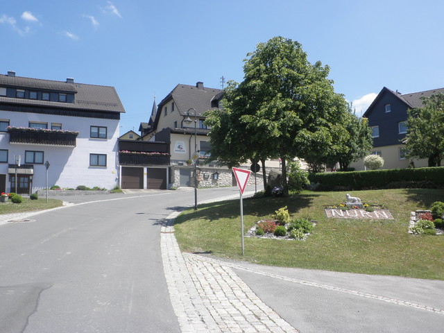
– am Ortseingang von Nurn
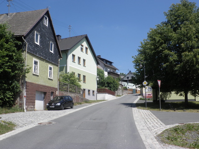
Von
Velocipedicus
– steil durch den Ort
Von
Velocipedicus
– .
Von
Velocipedicus
– .
Von
Velocipedicus
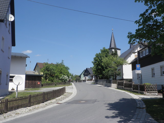
– aus Nurn heraus
Von
Velocipedicus
Von
Velocipedicus
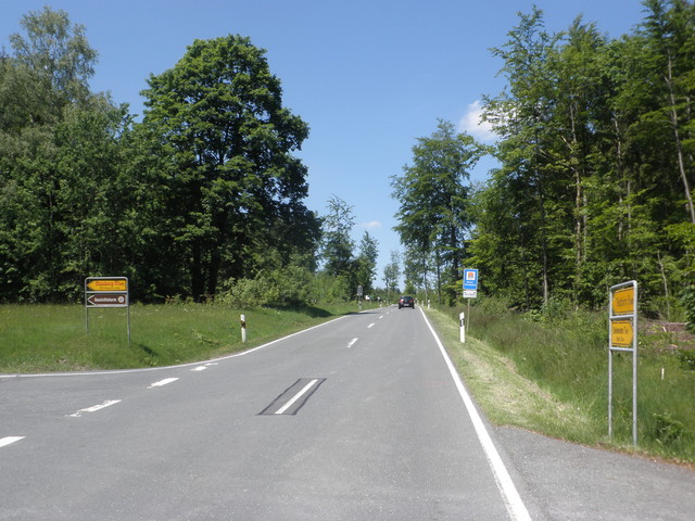
– links geht's nach Birnbaum, geradeaus zum Hochziel
Von
Velocipedicus
– Hochziel kaum auszumachen
 Hubertushöhe (653 m) Nurner Berg