Toggle navigation
Pässe
Pässe
Lebensziele
neu
Passjagd
Touren
Tourenplaner
Rennradreisen
Shop
Forum
Login
VERY important message
Suche
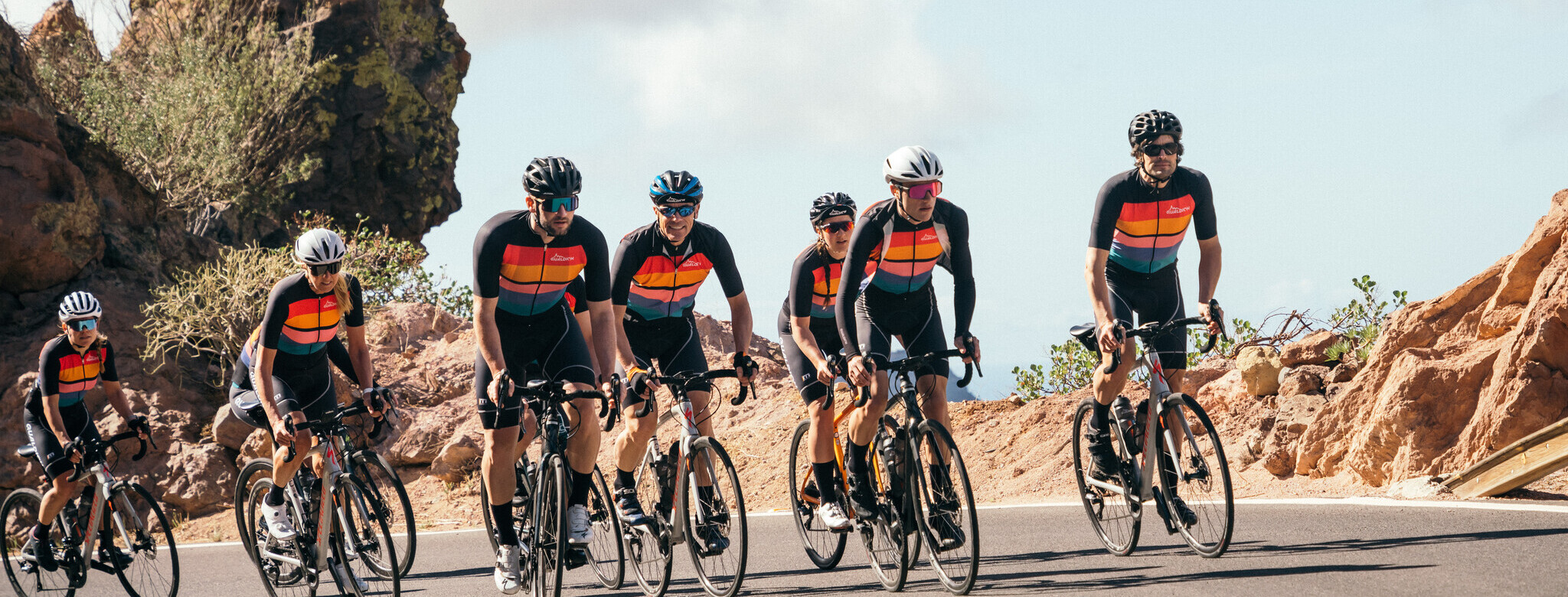
Jetzt im quäldich-Shop anschauen
Gibst du gerne alles?
Dafür stehen die quäldich-Farben!
Dafür steht quäldich all-in!
Kollektion endlich im Shop!
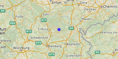
Trebesberg (569 m)
Trebensberg, Gries
Frankenwald
,
Bayern
Übersicht
Karte
Bilder
Rennradklima
Kommentare
Einloggen, um einen Kommentar zu verfassen
Map data ©
OpenStreetMap
contributors,
CC-BY-SA
GPS:
50.2965000,11.3429000
Sackgasse
Von
Velocipedicus
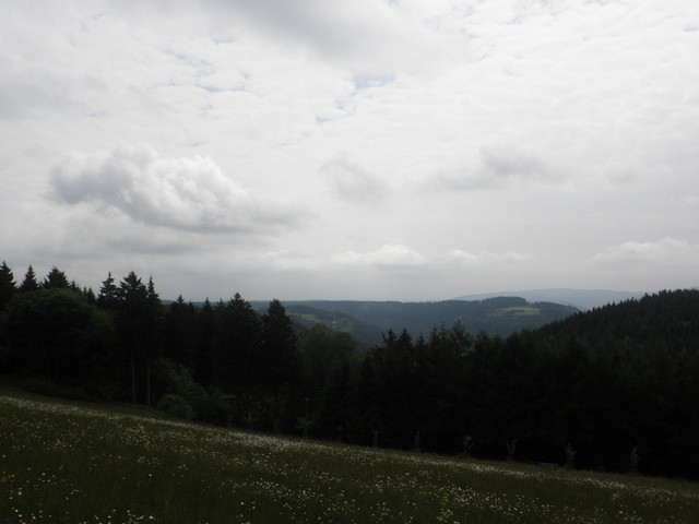
– Gipfel von hinten
Von
Velocipedicus
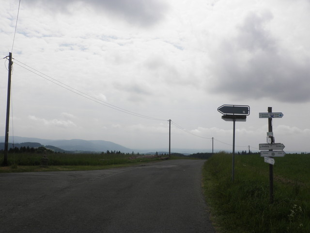
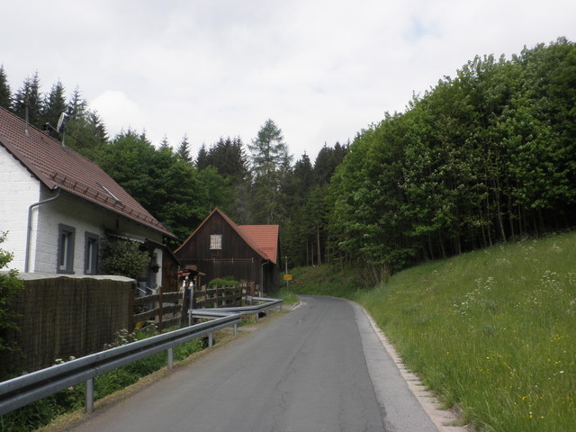
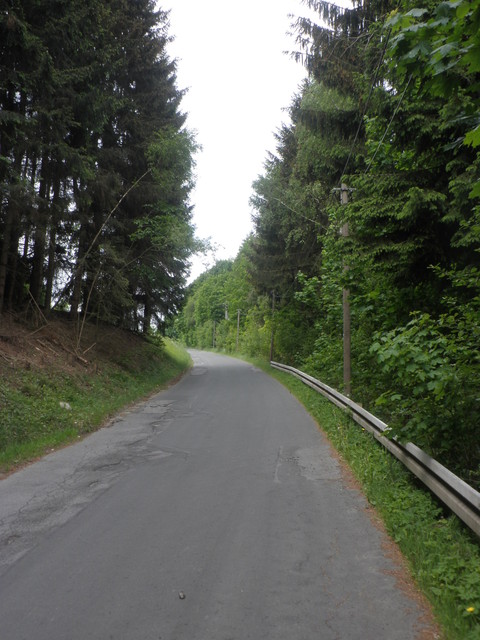
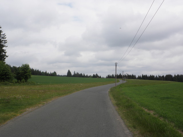
– Beginn des Anstieg in Steinberg
Von
Velocipedicus
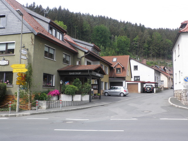
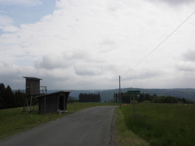
– links weiter, rechts geht es zur Kirche
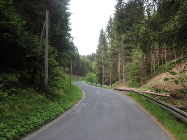
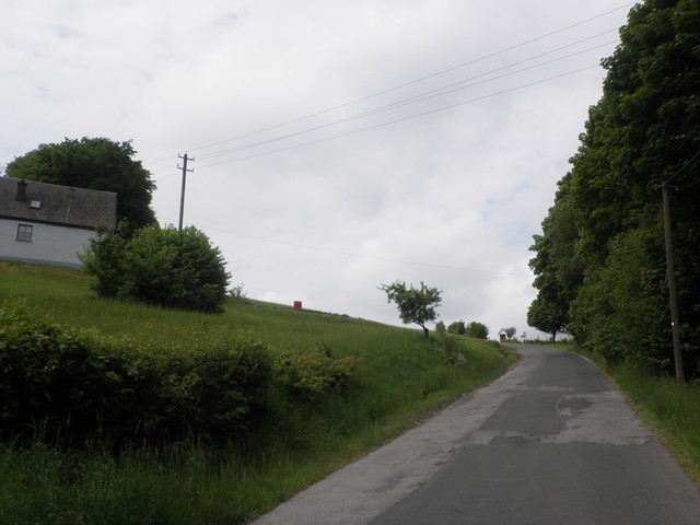
Von
Velocipedicus
– .
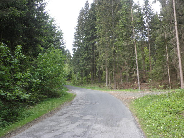
Von
Velocipedicus
– .
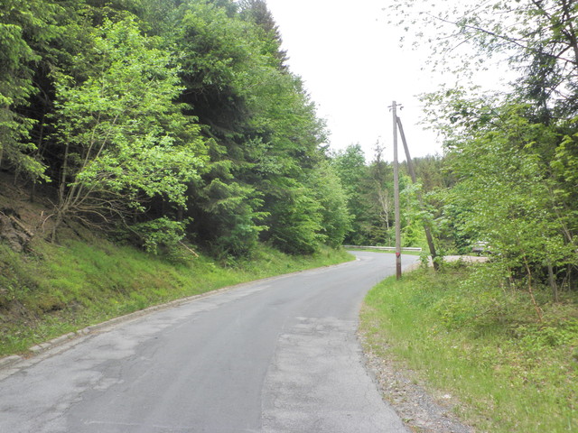
Von
Velocipedicus
– .
Von
Velocipedicus
– .
Von
Velocipedicus
– .
Von
Velocipedicus
– .
Von
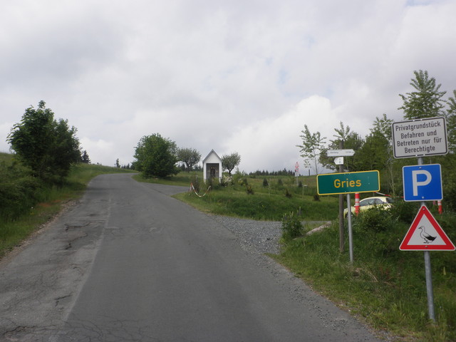
Velocipedicus
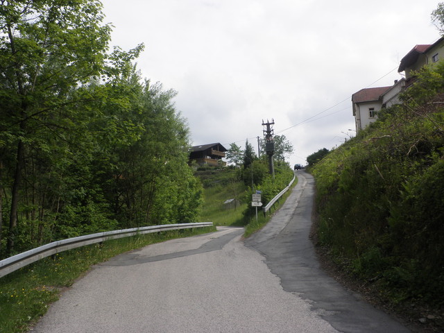
– Weiler Gries, Parkplätze für das "Haus Gries"
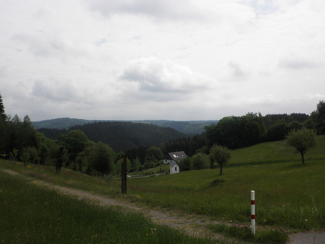
Von
Velocipedicus
– Blick nach unten
Von
Velocipedicus
– .
Von
Velocipedicus
– .
Von
Velocipedicus
– .

 Trebesberg (569 m) Trebensberg, Gries